


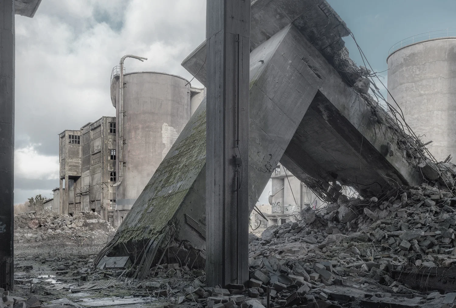


Images by: Luca Prestia - From the Series Confine de Stato
Written By: Ryan Nemeth
As nomadic people settled between the Tigris and Euphrates rivers in ancient Mesopotamia a new political format emerged, the territorial state. The newly formed territories were marked by power that extended outward from the city and into the surrounding countryside. Enabled by common linguistics and a shared identity, this new social and economic structure helped create more efficient resource allocation for citizens living within the newly defined territorial boundaries. History reveals that humans have always demarcated their territorial claims with lines, boundaries, or other conceptual separations as a means for creating identity, ownership, and order within geographic spatial confines. Thus, borders are the product of the human act of demarcation and are defined as real or artificial lines that separate geographic boundaries. Notably, borders have also played a pivotal role in defining territorial sovereignty by helping to establish and maintain the needed political, cultural, legal, and resource barriers that define countries, states, provinces, counties, cities, and towns. In fact, the 1648 treaty of Westphalia established the ‘territorial state’ as the basis for the modern and internationally accepted Nation State system. Yet, the efficacy of this system remains challenged as globalization and the changing nature of world politics continues to reshape our concept of international borders.
The creation of internationally accepted borders has long been a viable way to control the flow of goods and resources to and from countries. Borders exist for several reasons such as the protection of the lives and properties of citizens, safeguarding national resources, maintaining law and order, providing structure for a system of national governance, and as a mechanism for international relations. All of the aforementioned being protectionist in nature. Though borders are built for these multipurpose objectives, their basic function is to limit the nation within itself. Thus, utilizing borders to gate access and to promote policies of economic nationalism worked reasonably well through the industrial age. This was especially true of economies that were restricted to predictable international exchanges of tangible products and goods across international lines. However, the rise of the service economy, the Internet, and many other post-industrial variables have severely challenged the functional concepts of the Westphalian border.
Many economists, geographers, and sociologists assert that we increasingly live in a “borderless” world and the rise of globalism speaks directly to this assertion. Globalism is defined as the increased interconnectedness and interdependence of peoples and countries and is largely predicated on two interrelated concepts. First, the opening of borders to increase the flows of goods, services, capital, people and ideas across international borders. Second, changes in institutional and political regimes at the international and national levels that facilitate or promote such flows. Both of these concepts largely function via the economic principle of comparative advantage. Thus, open and free borders stimulate economic activity for all parties involved in the transference of products, people, and knowledge when trade is based on comparative advantage. By engaging in globalization, we increase the interaction and integration among the people, companies, and governments of different nations. In doing so, the flow of goods and resources is no longer restricted to defined geographies or traditional borders as defined by demarcated boundaries.
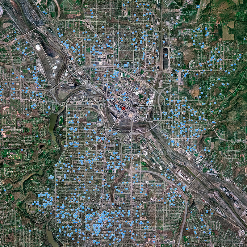
The truth is that the cross border flows of capital, goods, and people are becoming increasingly complex in our modern world. Any proper assessment of this activity should therefore account for a complex and fluctuating mix of interlinked political, economic, cultural, geographic, ecological and psychological forces. Yet, one simple truth remains, the rise of the service economy, its relevant intangible deliverables and the growth of post-industrial infrastructure are yielding unparalleled global interconnectivity. This new infrastructure capacity coupled with motivations of global trade and interaction have defined new geographic power structures that are no longer bound by Westphalian lines on a map. The truth is that there is a sea of dynamic and evolving phantom like borders that exist in our globalized world. Could it be that the rise of global interconnectivity and interdependence leads to global geography that is very different from the one we know today?
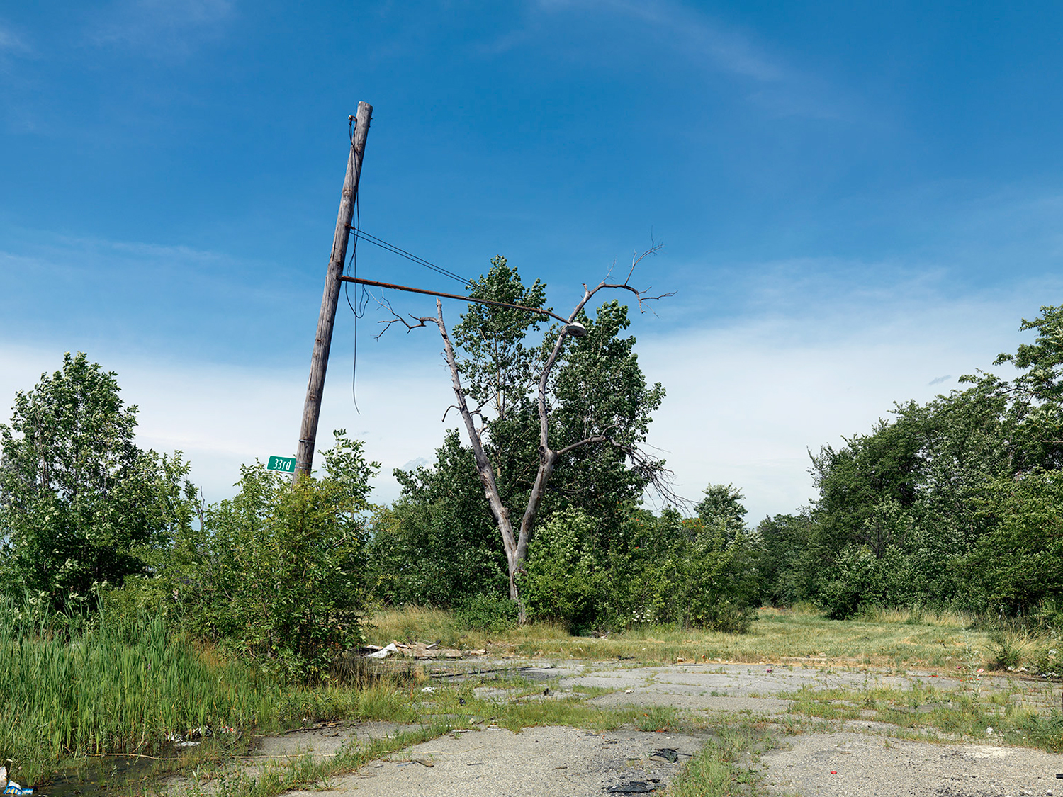
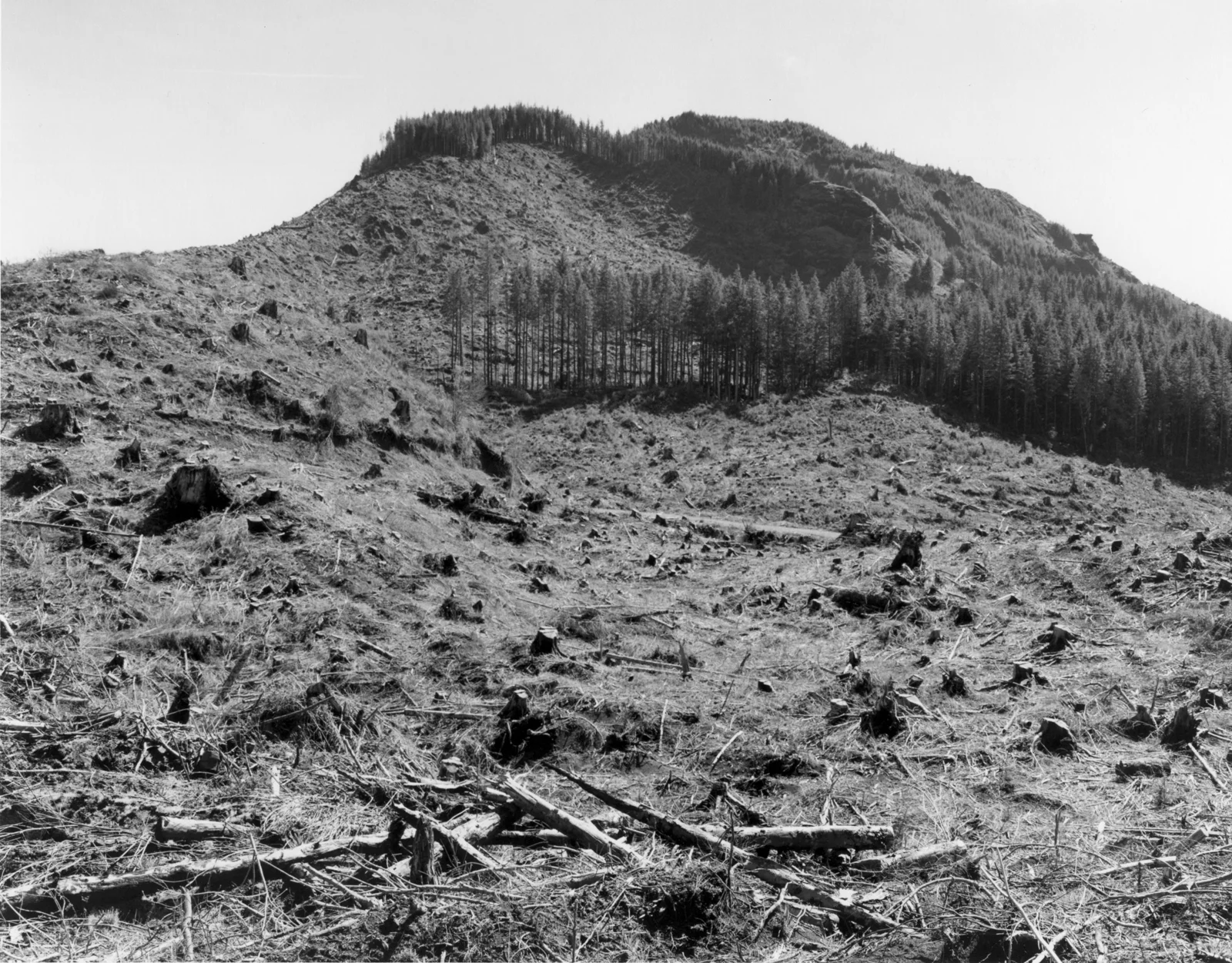
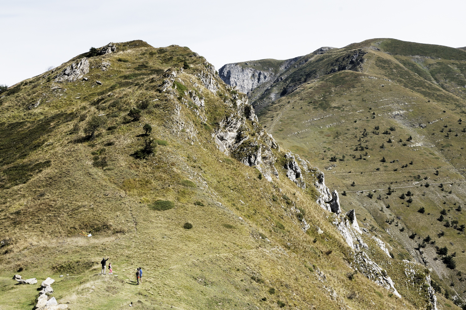
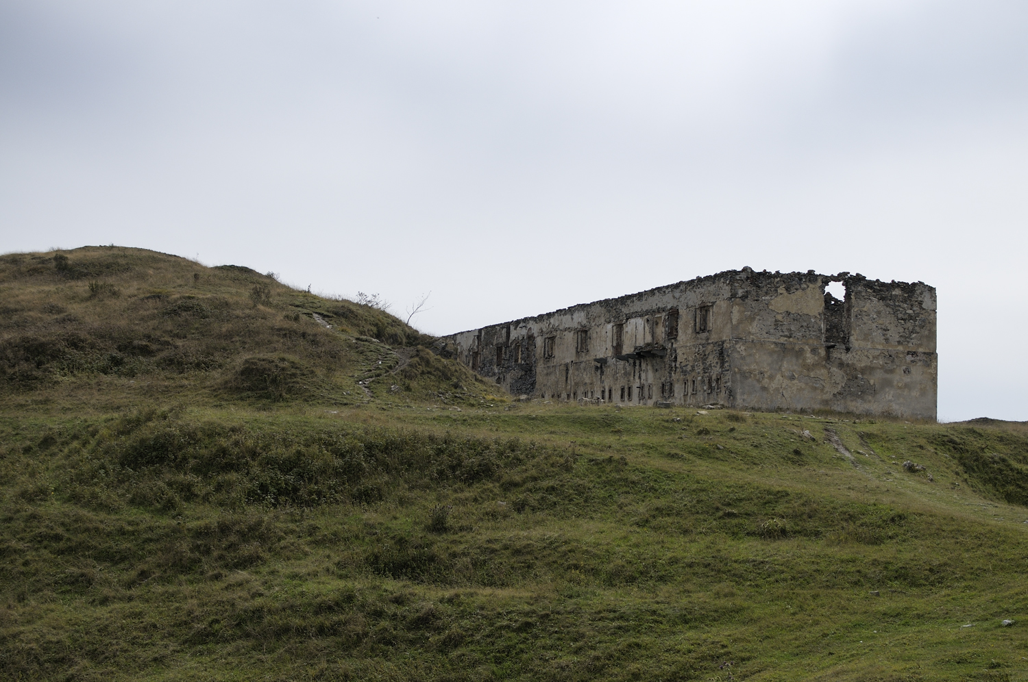
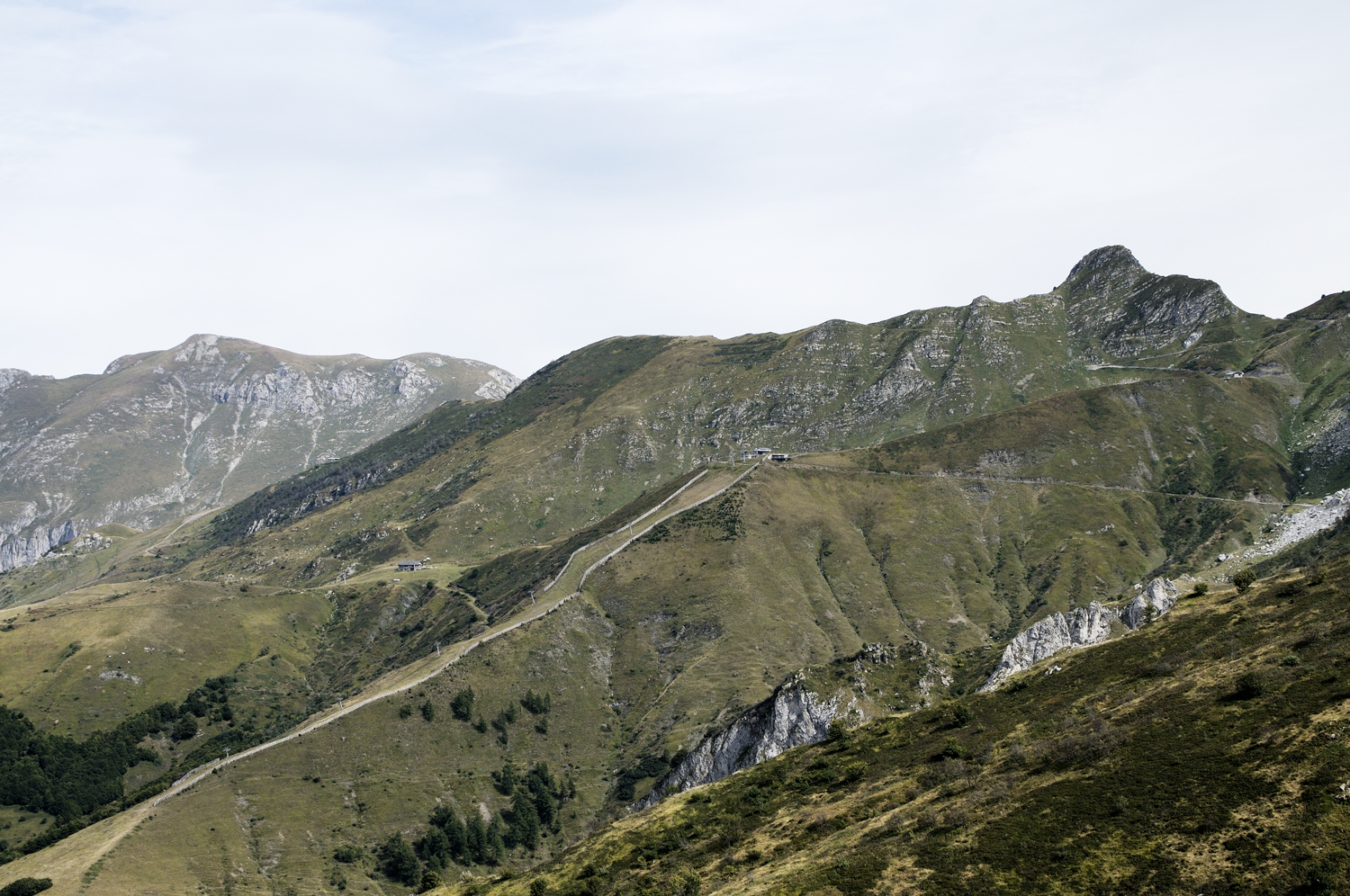
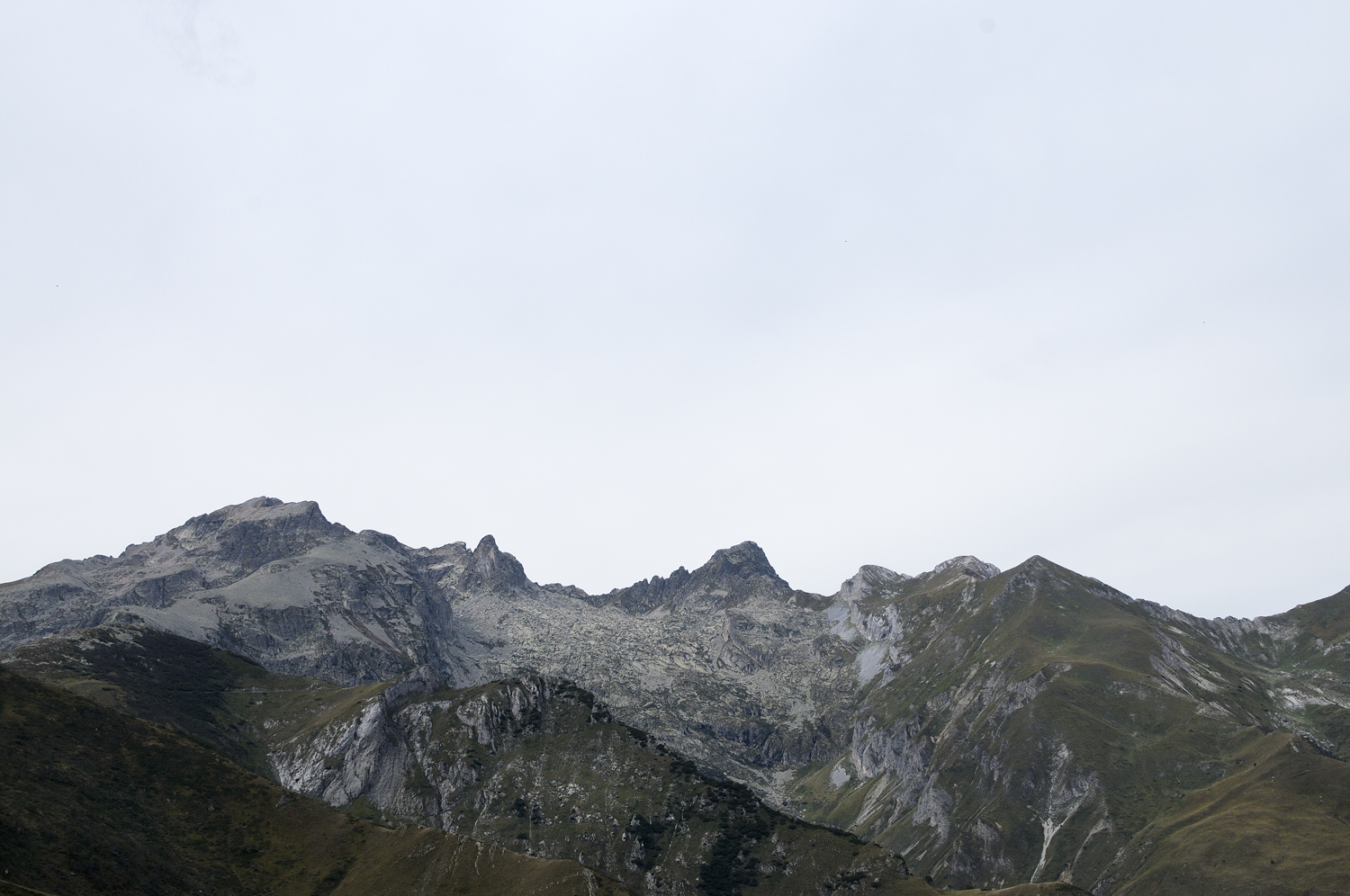
Luca Prestia’s body of work, Confine de Stato, provides an intimate look at a traditional Westphalian border between Northern Italy and France. In 1947, after months of intense negotiations, the border between the Italian and the French territories was redrawn along this line in the Col de Tende region. In doing so, the Italian highlands were established by an imaginary boundary that is now marked by solitary milestones in the Col de Tende pass. The Col de Tende pass holds lots of history as the Phoenecians, Greeks, and Roman also once laid claim to the high elevation pass. Yet, Empire borders and territorial claims have come and gone. I would suggest that we increasingly find ourselves in a world that is defined by invisible borders and dynamic geographic boundaries. Thus, it is interesting to consider what this obscure geographic line high in the Alps truly represents in a 21st century world?
You can find more of Luca Prestia’s work here: http://cargocollective.com/lucaprestia
References:
- http://education.nationalgeographic.com/encyclopedia/border/
- http://www.vocabulary.com/dictionary/demarcation
- http://www.wwnorton.com/college/history/worlds-together-worlds-apart3/ch/03/summary.aspx
- http://www.krepublishers.com/02-Journals/JSS/JSS-24-0-000-10-Web/JSS-24-3-000-10-Abst-PDF/JSS-24-3-177-10-1012-Okhonmina-S/JSS-24-3-177-10-1012-Okhonmina-S-Tt.pdf
- http://www.uzh.ch/wsf/WSFocus_Newman.pdf
- http://www.who.int/trade/glossary/story043/en/
- http://www.globalization101.org/what-is-globalization/
- Perkmann, M., & Sum, N. L. (Eds.). (2002). Globalization, regionalization, and cross-border regions. Basingstoke/New York: Palgrave Macmillan. Retrieved from: http://www.academia.edu/7489092/Irrelevant_Borders_Perspectives_of_Globalization
- Alkalpler, E. (2008). The New World Order: Social and Economic Globalization versus Protection. Retrieved from: http://papers.ssrn.com/sol3/papers.cfm?abstract_id=1609567